Security assessments
Support perimeter reviews, CPTED evaluations, vulnerability identification, and physical security assessments.



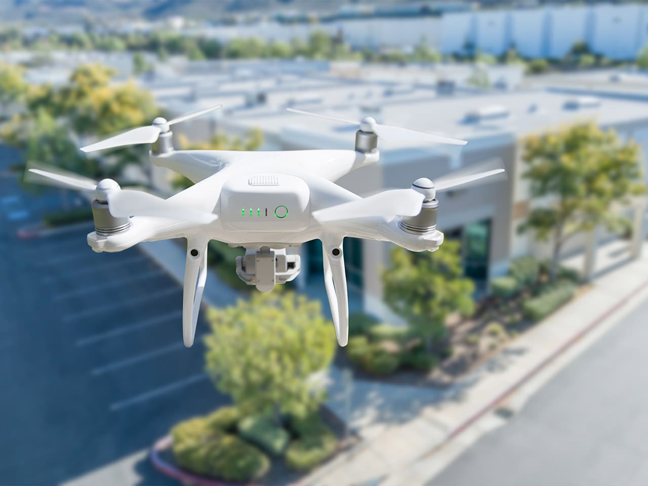
Aerial inspection can support rooftops, towers, industrial structures, utility assets, confined spaces, and other locations where cranes, scaffolding, rope access, or aircraft may be impractical, disruptive, or costly.
RPAS support can provide rapid visual assessment during emergencies, incidents, disasters, and business continuity events, helping decision-makers understand site conditions, hazards, damage, and changing operational realities.
High-resolution imagery, video, thermal imaging, and aerial observation can reveal conditions that are difficult or impossible to understand from ground level alone.
These services extend beyond photography and videography. MWGI uses RPAS capabilities to collect information that supports security assessments, infrastructure inspections, emergency response, incident documentation, environmental monitoring, and practical risk management decisions.
Support perimeter reviews, CPTED evaluations, vulnerability identification, and physical security assessments.
Inspect utility assets, water infrastructure, energy facilities, transportation assets, industrial sites, and related facilities.
Provide aerial observation during incidents, disasters, emergencies, and continuity events.
Document incident scenes, capture visual evidence, and support post-event review.
Monitor infrastructure, facilities, construction progress, environmental conditions, and operational changes.
Deliver aerial perspectives that improve planning, coordination, and decision-making.
RPAS services provide enhanced visibility, documentation, and situational awareness. They do not replace engineering evaluations, regulatory inspections, or other specialized professional services. Operations remain subject to Transport Canada requirements, airspace restrictions, permissions, weather, privacy considerations, and site-specific safety planning.
Deliverables are tailored to the scope of the engagement and may support inspections, investigations, planning, stakeholder communication, or broader security and resilience assessments.
Organizations make better decisions when they can see risks, vulnerabilities, and operational conditions clearly. RPAS services provide a safe, efficient, and cost-effective way to collect visual intelligence that supports asset protection, resilience, investigations, and risk management.
RPAS can support inspections and assessments for critical infrastructure, utilities, water and wastewater facilities, industrial sites, construction projects, educational campuses, municipal properties, transportation facilities, commercial developments, large estates, and remote locations.
Yes. RPAS operations are conducted in accordance with applicable Transport Canada requirements, airspace restrictions, operational limitations, and safety planning considerations. Each engagement is reviewed for feasibility, permissions, site conditions, and regulatory considerations before flight operations.
Yes. RPAS can provide valuable aerial perspectives for physical security assessments, CPTED reviews, perimeter evaluations, vulnerability assessments, and critical infrastructure protection work. Aerial views can reveal access routes, blind spots, site relationships, and perimeter concerns that may not be visible from ground level.
Depending on the project, RPAS operations may capture high-resolution photographs, aerial video, panoramic imagery, site overview imagery, infrastructure documentation, incident documentation, construction progress imagery, and mapping-related data.
Yes, where appropriate. Thermal imaging may help identify heat anomalies, equipment concerns, environmental conditions, areas of energy loss, or other conditions not readily visible through conventional imagery. Its use depends on site conditions, environmental factors, and project objectives.
Yes. RPAS can provide situational awareness during emergencies, incidents, disasters, and business continuity events. Aerial observation can help document conditions, identify hazards, assess damage, monitor change, and support response coordination, subject to safety, regulatory, and operational requirements.
The value is not limited to image capture. MWGI integrates aerial observations with security risk management, critical infrastructure protection, emergency management, resilience, and physical security assessment experience to help clients understand what the imagery means and how it should inform decisions.
Start with a confidential discussion about your right next step.